-
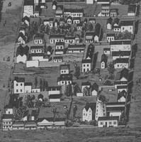
Adelaide 1875
Adelaide: Supplement to the Australasian Sketcher. Courtesy of the State Library of South Australia, SLSA: B1452 The ‘bird’s eye’ view of Adelaide…
-
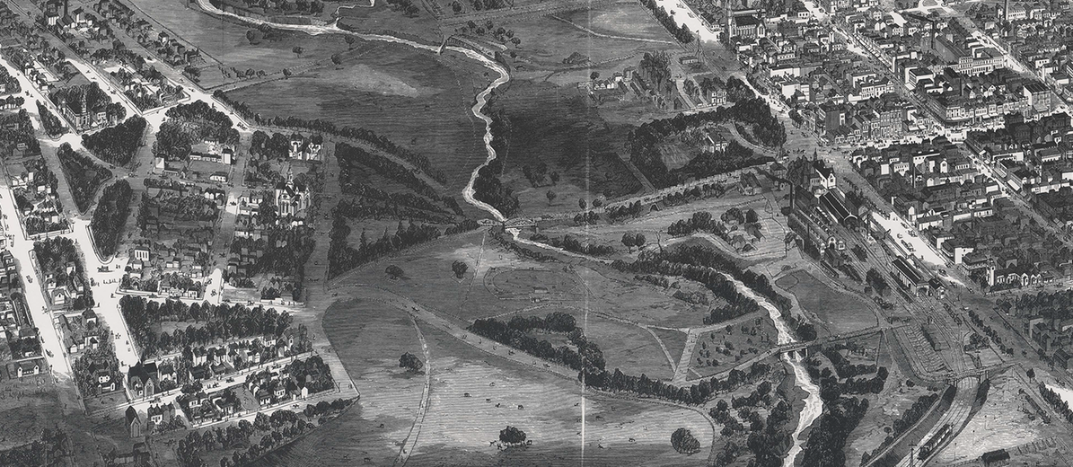
Adelaide 1876
Adelaide: supplement to the Illustrated Sydney News; ‘A Capital View of the City of Adelaide’. Image courtesy of the State Library…
-
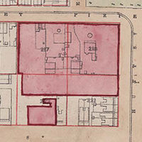
Book Plan of South Adelaide
Book Plan of South Adelaide. Courtesy of the State Library of South Australia, SLSA: B1578746 Prior to the development of…
-
Duryea Panorama
Panorama of Adelaide, 1865. Photographer: Townsend Duryea. Courtesy of the State Library of South Australia, SLSA: B5099 The Duryea Panorama is a…
-
Kingston Map
Kingston Map, c. 1842. To her most Gracious Majesty Adelaide, the Queen Dowager, this map of Adelaide, South Australia, shewing…
-
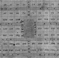
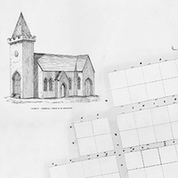
Light’s Plan of Adelaide 1837
Colonel William Light’s Plan of Adelaide, 1837. History SA, HT2001.166. Colonel William Light was appointed by the South Australian Colonization Commissioners in…
-
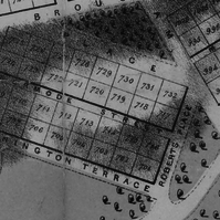
Light’s Plan of Adelaide, 1840
Plan of the City of Adelaide, in South Australia: with the acre allotments numbered, and a marginal reference to the…