
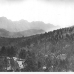

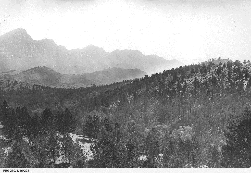
The Adelaide Hills (known in early colonial times as ‘the Tiers’) is a region of the Mount Lofty Ranges east of the city of Adelaide. While the territory of the Kaurna Aborigines extended from the Adelaide plains to the westernmost part of the Hills, most of the Hills fell within the territory of the Peramangk. However, because of the forbidding terrain neither people spent much time in the western ranges. Similarly, because of its easier, more open landscape, permanent European settlement began in the central ranges, around centres like Mount Barker, Nairne and Balhannah, before extending into the western region, at Stirling and elsewhere. From 1839 Hahndorf and Lobethal were two notable centres of German settlement.
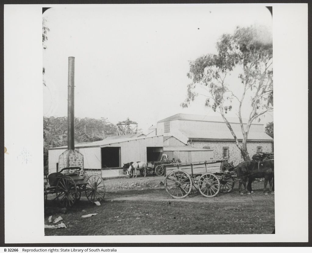
The highest part of the ranges, on this western side, carried a forest of stringybark which provided a rich source of timber and wood for the new colony. The Hills contain many mineral deposits, although usually only in small quantities. The colony’s most important gold mines, still small by other Australian standards, were opened at Echunga in 1852. Quarrying took place at many sites. Pastoralism and agriculture, especially horticulture, became major industries. Dairying had its day, and lately vineyards have disproved the early judgement that the Hills would not make a wine region.
Transport
Transport has always been a difficulty and cause of concern in Hills history. The building of a Great Eastern Road, an expensive undertaking for a young colony, began in 1841. After much discussion, work began on a south-eastern freeway in the early 1960s. The freeway, running from Eagle on the Hill to beyond Murray Bridge, prompted a boom of new suburban settlement in the Hills. Between 1996 and 2000 the freeway was extended through the steepest part of the Hills, from Glen Osmond to Crafers. Construction of a railway, ultimately connecting to Melbourne, began in 1879 with the first completed section, to Aldgate, opening in 1883. This made commuting to Adelaide an option and promoted a rash of development.
Tourism
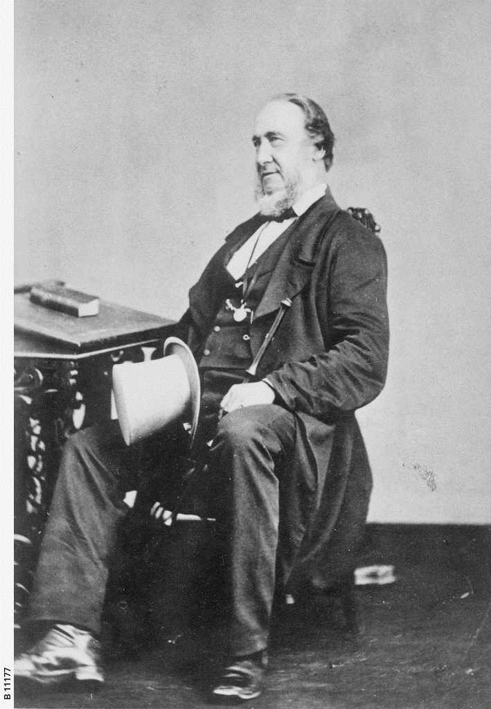
Since the ascent of Mount Lofty (the highest point in the Hills at 727 metres) by Young Bingham Hutchinson in April 1837, tourism has attracted many to the Hills; Mount Lofty Summit, with its impressive views, remains a major destination as does the village of Hahndorf. Hotels and guesthouses catered to holidaymakers until after World War II and recently bed-and-breakfasts have appeared. The comparatively cool climate of the Adelaide Hills also appealed to the wealthy as a summer retreat. This practice, begun in the 1840s, boomed in the 1880s and later, especially in the region of Mount Lofty, Crafers, Stirling, Aldgate and Bridgewater.
Working Men’s Blocks
From 1886 the area south of Stirling and Aldgate was released for Working Men’s Blocks, small farms intended to supplement other income. In so far as this experiment was a success anywhere in South Australia, it was most successful in the Hills, especially because of the proximity to the markets and jobs of Adelaide. Mylor was founded in 1891 as the main service centre for the blockers.
Water and Parks
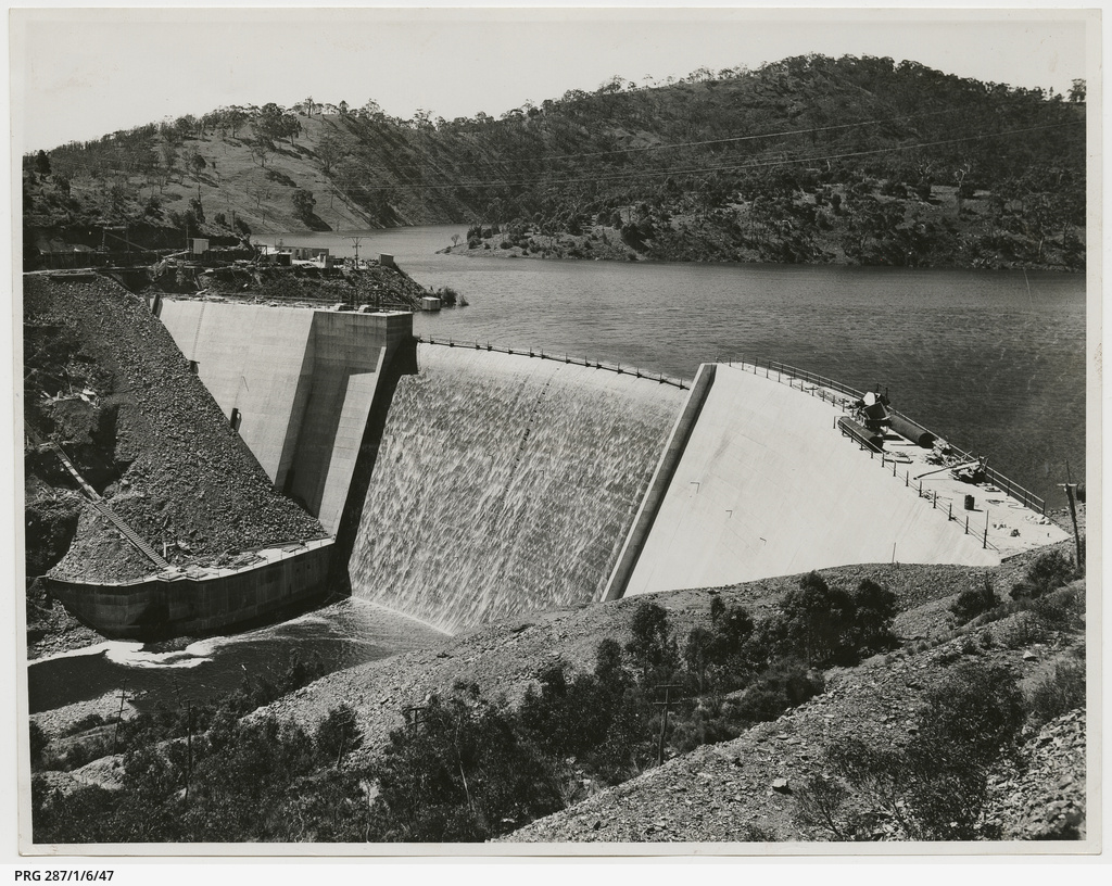
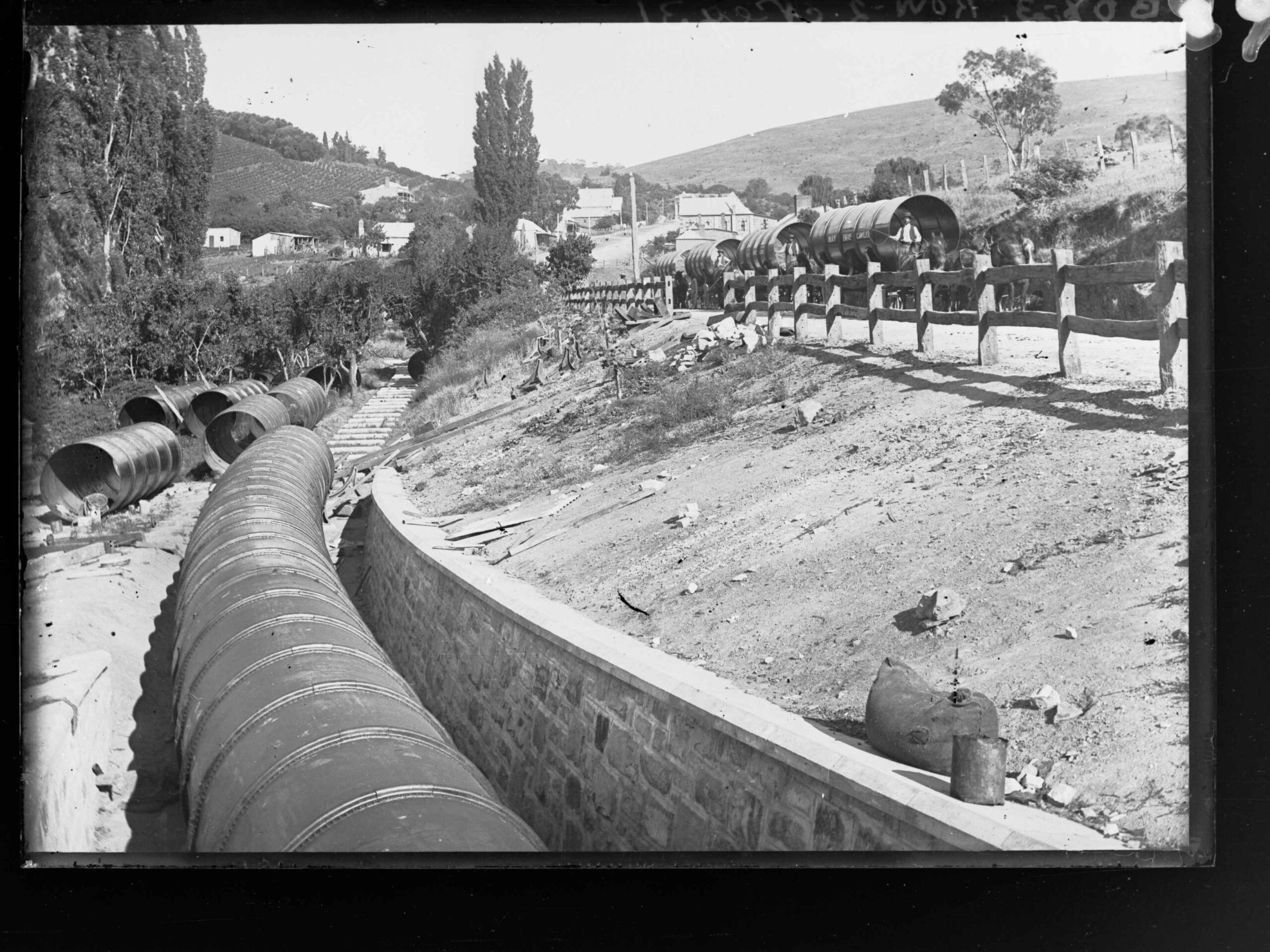
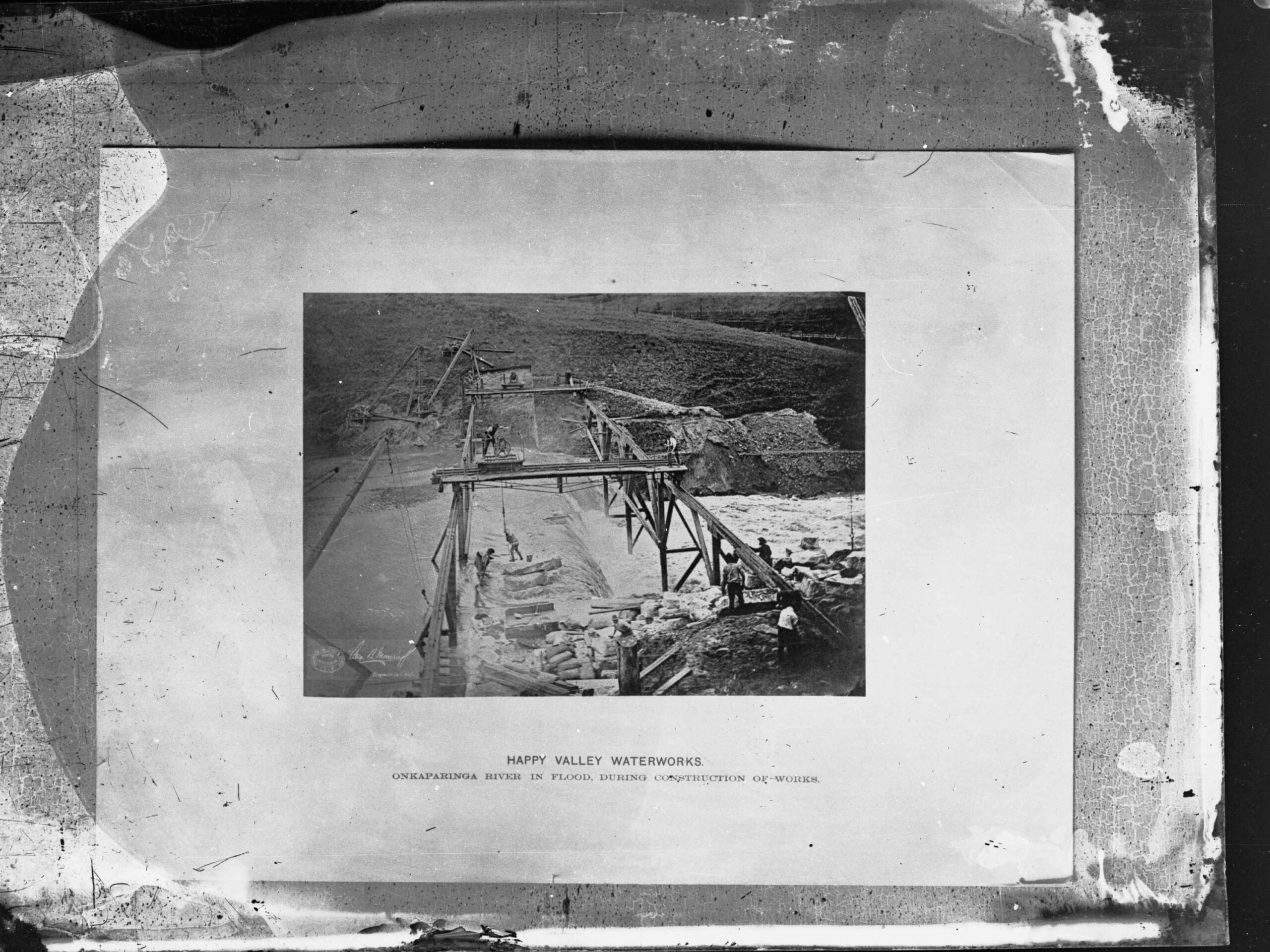
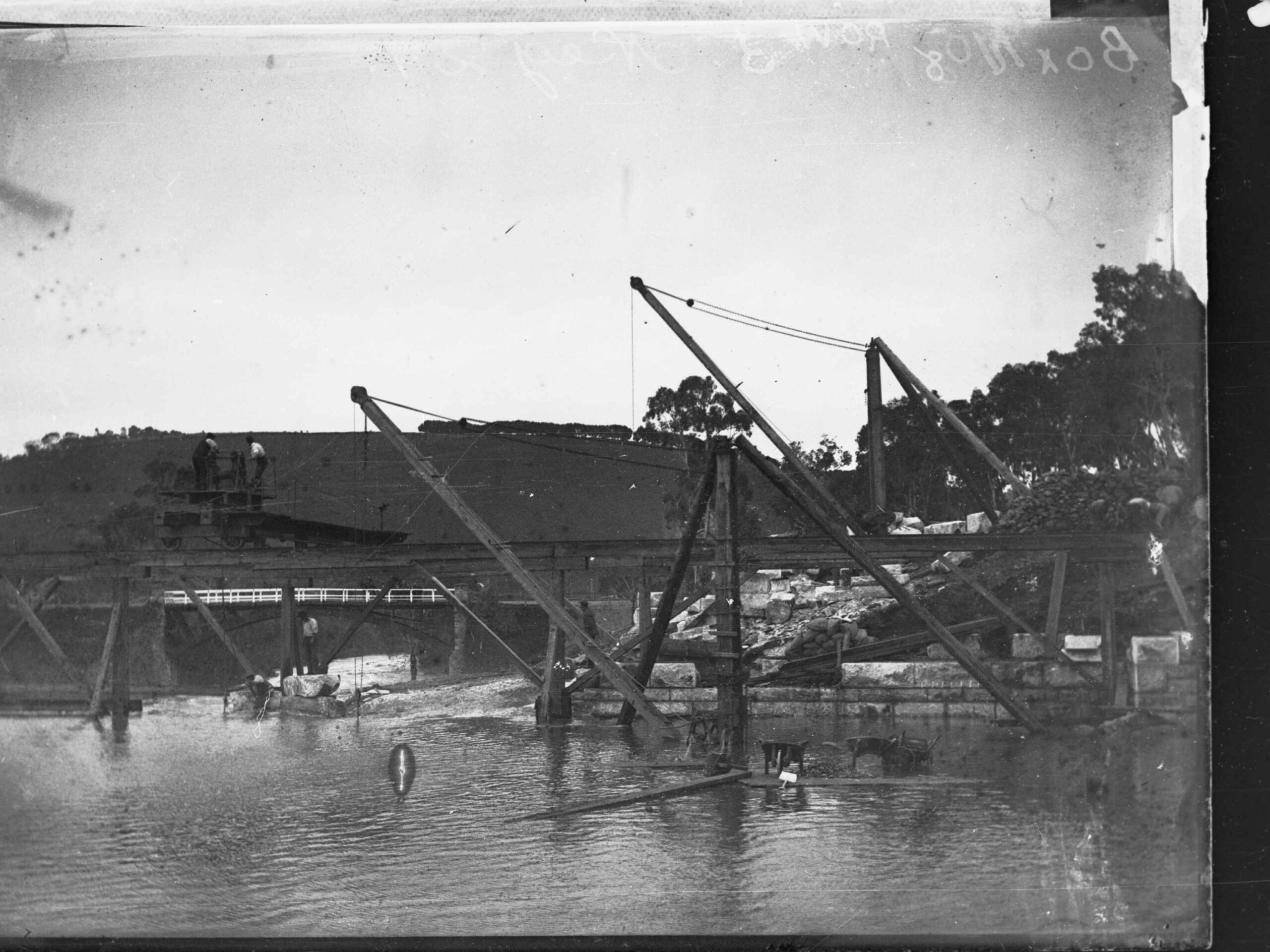
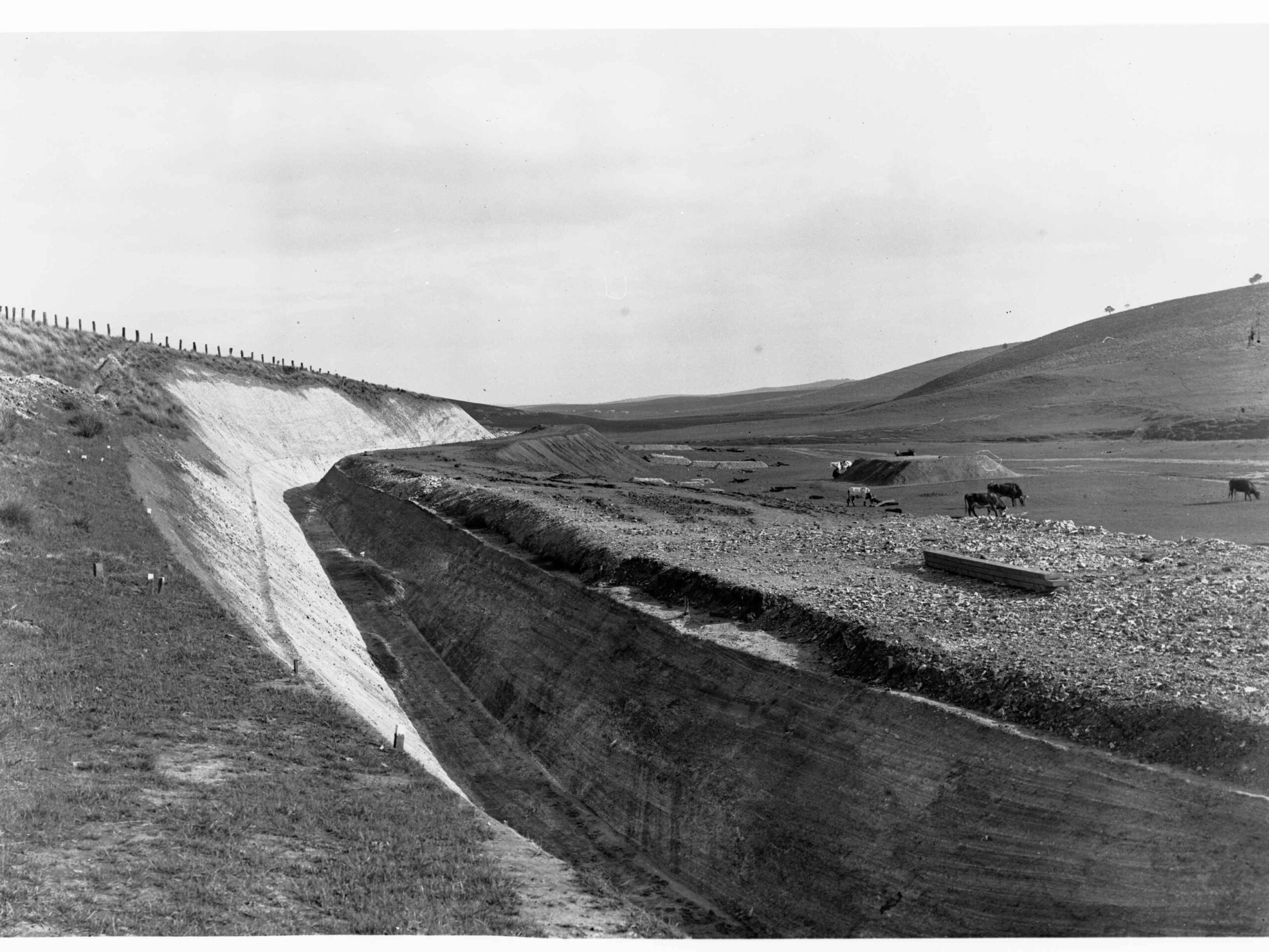
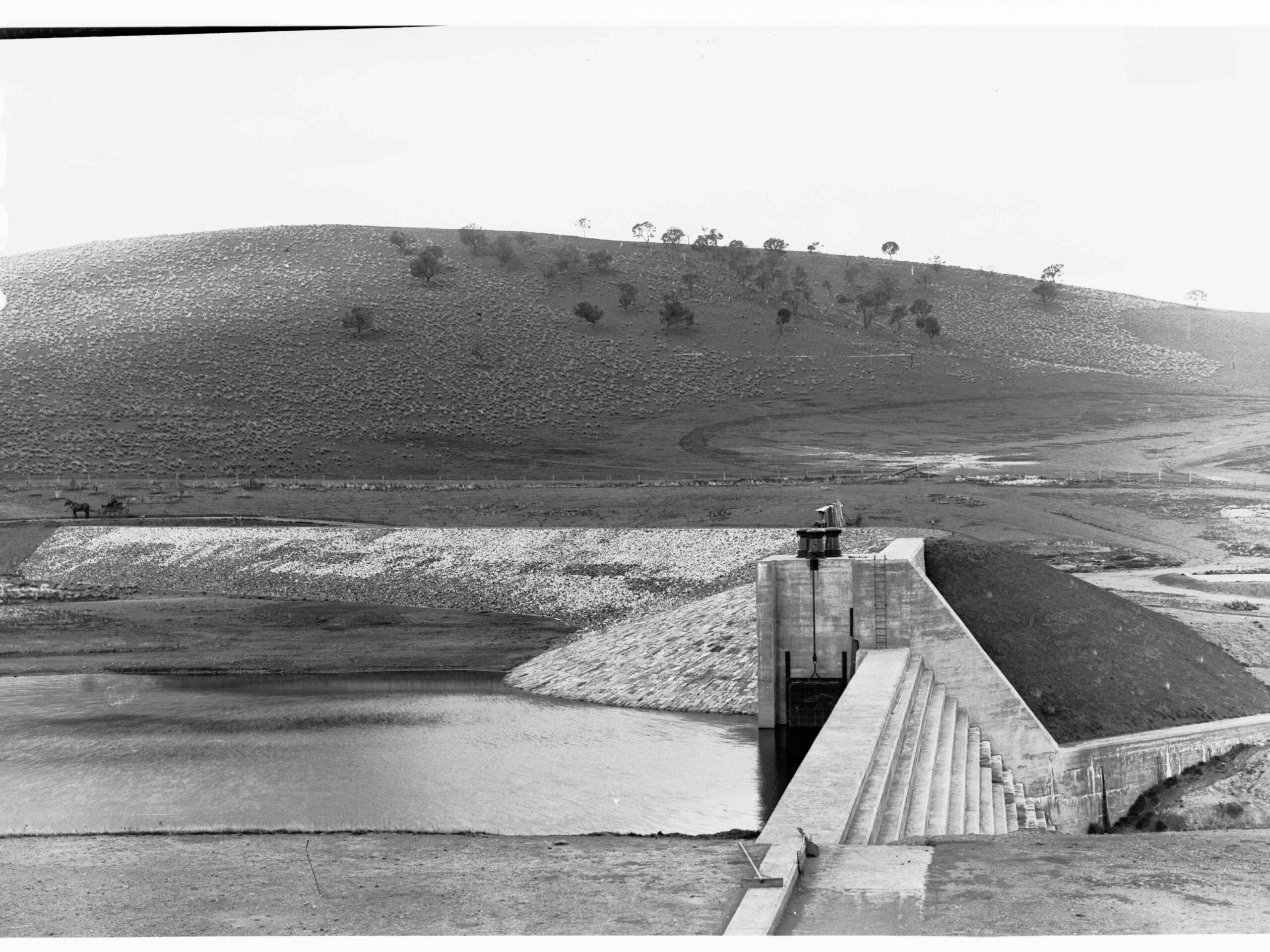
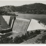
The Hills provide an important water catchment for Adelaide, with Mount Bold Reservoir on the Onkaparinga River completed in 1938. Concern for water quality has led to increasing oversight of human activity in the Hills, the conflict between development and conservation generating much controversy since the 1960s. Parks have been set up, including Belair National Park (founded in 1891), and Cleland Conservation Park (1963).
Population
The Stirling and Belair–Blackwood–Coromandel Valley districts now have the largest populations in the Hills, with Mount Barker another important centre. The westernmost hills have been incorporated into the Adelaide Metropolitan Area, and a Hills Face Zone set up to preserve the attractiveness of the slopes visible from the city. In 1997 four council districts, Stirling, East Torrens, Onkaparinga and Gumeracha, amalgamated to form a large district which took the name of Adelaide Hills.

Comments
2 responses to “Adelaide Hills”
We live on Stock Road on an original blockers property of nearly 20 acres and have a copy of the owners since the very first in 1887.
One day turning the soil for a garden , we found an 1883 silver (English coin at that time) threepenny piece.
Part of our house consists of 1887 original living area (local stones and mud/straw) with several additions since.
That sounds like an amazing place to live Karel, a great connection to history.